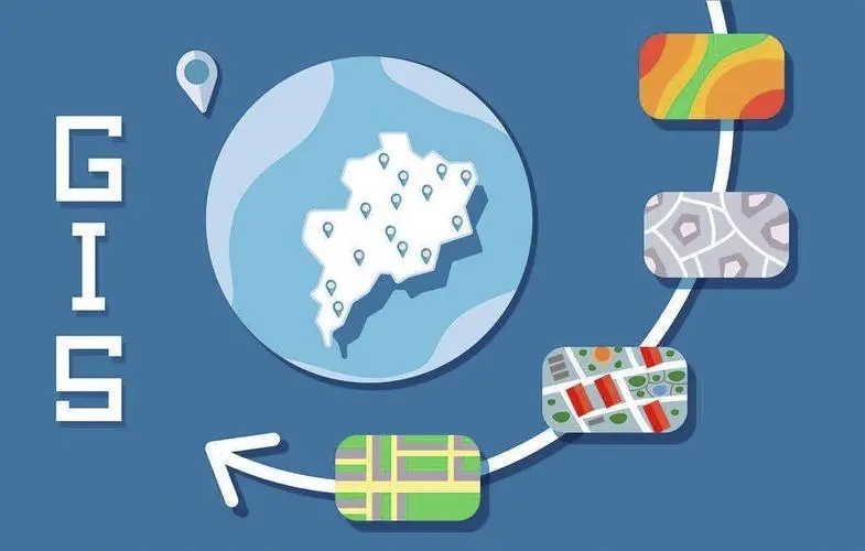
Geographic information system (GIS) is sometimes called "geoscience information system". It is a special very important spatial information system. It is a technical system that collects, stores, manages, calculates, analyzes, displays and describes the relevant geographic distribution data in the whole or part of the earth's surface (including the atmosphere) space under the support of computer hardware and software systems. It combines geography and cartography, remote sensing and computer science, and has been widely used in different fields. With the development of GIS, it is also called "geographic information science".
GIS is also a complex digital system, which not only includes data query and processing functions, but also includes remote sensing technology, so as to provide landscape designers with comprehensive access to the environmental information of landscape construction sites. These environmental data provide designers with more comprehensive reference data, such as the ecological distribution of local animals and plants. Designers can select landscape plants based on such data. In addition to introducing some local plants, they can also introduce some plants that have the same environmental requirements but are born in other places, which improves the ornamental value of the garden and enriches the local ecosystem. By building a stable ecosystem, Improve the garden's ability to resist the outside world and self recover. In addition, remote sensing technology can also provide designers with local temperature data, including surface temperature, average temperature and temperature changes. Through these data, designers can also better adapt to local conditions in the selection of garden building materials, on the other hand, improve the adaptability of materials, so as to achieve the goal of using computer aided technology to study various environment and geographic data of gardens.
ArcGIS is a collection of various tools. While assisting in landscape planning, design and mapping, landscape designers can use its expansion modules, such as 3D analysis, spatial analysis, network dataset and other toolkits to conduct status analysis, spatial analysis, network analysis and hydrological analysis different from the traditional model, and can directly obtain slope, aspect, solar radiation, surface runoff and other data according to the digital elevation model, So as to achieve the purpose of combining GIS based on spatial data management and analysis with professional knowledge of various disciplines to assist the professional research of landscape architecture planning and design.